Photo: Timothy J. Quill / Wikimedia Commons, CC BY-SA 4.0
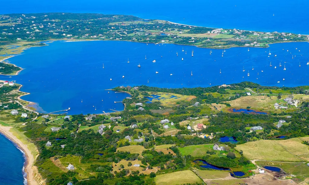
In 2010, Rhode Island’s Coastal Resources Management Council adopted the Ocean Special Area Management Plan, known as the Ocean SAMP. It covers about 1,467 square miles of Rhode Island Sound and Block Island Sound, including state and federal waters, and it was the first marine spatial plan of its kind in the United States to be adopted and approved by federal regulators.
Why it was created
In the mid-2000s, Rhode Island set goals for renewable energy and began considering offshore wind. Rather than evaluate turbine proposals one at a time, the state asked CRMC to study the offshore area as a whole: where fish and fishermen are, where whales and seabirds feed, where ships travel, where cables run, where cultural resources lie, and how all of those might be affected by new uses.
How it was made
Scientists at the University of Rhode Island, including the Graduate School of Oceanography and the Coastal Resources Center, conducted research and gathered data with CRMC staff over about two years. Fishermen, tribal representatives, environmental groups, recreational users and federal agencies took part in a public process. The result was a set of detailed maps and policies on ecology, fisheries, shipping, recreation, cultural and historic resources, and renewable energy.
What the plan does
- It identified a renewable energy zone in state waters off Block Island, where the Block Island Wind Farm was later built.
- It sets standards that projects must meet, including protections for important fishing grounds and sensitive habitats.
- It gives Rhode Island a stronger voice in federal decisions about projects in nearby federal waters, through the federal consistency review process.
Why it still matters
The Ocean SAMP has been updated as larger wind projects were proposed in federal waters south of Rhode Island and Massachusetts, and it remains the reference point when the state reviews those projects and their cables. Other states and regions have used it as a model for ocean planning.
The plan’s chapters and maps are available on CRMC’s website, and the council takes public comment when changes are proposed.