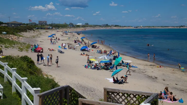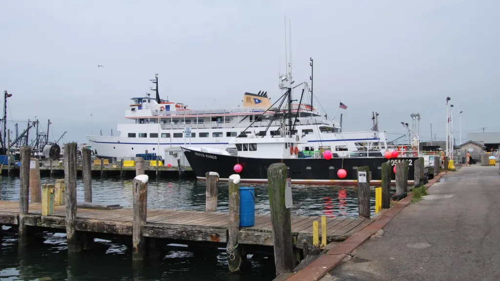
Boats at the Port of Galilee in Narragansett, home port of the year-round Block Island ferry. Photo: Juliancolton, public domain, via Wikimedia Commons.
The dry, unusually mild stretch South County has had for much of November should hold through Saturday. After that, forecasters are watching a storm that could bring a soaking, wind-driven rain to the coast Sunday night into Monday, along with rough seas and rising tides at the start of Thanksgiving week.
The National Weather Service office in Norton, Mass., said in its forecast discussion early Thursday that confidence is increasing in “a windswept heavy rain with significant marine impacts late Sunday into Monday.” No watches or warnings were in effect for Rhode Island or its coastal waters as of Thursday morning.
The setup starts well to the south. Energy and tropical moisture over Florida are expected to develop into a coastal storm off Florida’s east coast this weekend, which forecasters expect to intensify rapidly as it heads northeast. The weather service said the National Hurricane Center is also watching the system for signs it could take on subtropical characteristics.
The track decides the rain
Where the storm passes makes most of the difference. The main American and European models take it near the “benchmark,” the point south of Nantucket that New England forecasters use as a reference for coastal storms. That track would mean 1 to 3 inches of rain across Rhode Island and eastern Massachusetts, with the heaviest rain out over the ocean. Several newer AI-driven model runs place the storm farther west, which the weather service said could produce a swath of 3 to 5 inches or more and raise concern about freshwater flooding.
The point forecasts for Narragansett and Block Island on Thursday called for rain becoming likely Sunday evening, with a chance of thunderstorms that could produce heavy rain overnight, and rain continuing Monday. Winds would turn from the east and northeast Sunday night to the north on Monday at 20 to 24 mph, then northwest Monday night. Monday’s high near 60 would be followed by a sharp turn colder: highs only in the upper 30s to mid-40s on Tuesday and Wednesday, the weather service said.
Tides and seas
The timing lines up with a run of higher tides. Tide predictions from NOAA’s Newport station show morning high tides climbing from about 3.1 feet on Thursday to 4.4 feet at 6:01 a.m. Monday and 4.6 feet on Tuesday, ahead of the full moon on Nov. 24. The weather service said that if the storm tracks farther west, those astronomical tides raise the potential for tidal flooding.
On the water, the marine outlook calls for a moderate risk of small craft advisory winds Sunday night, with gusts to 30 knots, and a moderate risk of gale-force winds Monday, with gusts to 45 knots and seas up to 23 feet. That matters for anyone counting on the boats to and from Block Island early in the holiday week. The ferry operator posts weather cancellations on the Block Island Ferry website, and our guide to getting to the island covers the year-round routes. Islanders can also watch conditions in real time on the new flood sensors and weather stations that recently came online.
For the mainland, the usual low spots are worth watching if the western track verifies: the barrier beaches in Westerly and Charlestown, the breachways and salt ponds, and roads along the water in Narragansett and Matunuck. Narragansett, as it happens, opened public comment today on a set of proposed flood and stormwater rules.
The weather service’s next forecast discussions will narrow the track as the storm forms. Updates through the weekend will be on our Coast & Water page.
Add South County Independent as a preferred source on Google (opens in a new tab)