Photo: Paul C. Anagnostopoulos / Wikimedia Commons, CC BY-SA 4.0
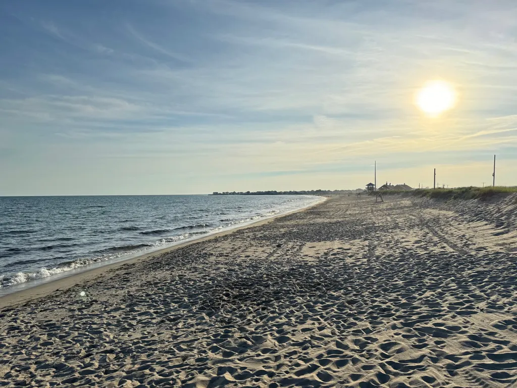
Few places in Rhode Island show coastal erosion as plainly as Matunuck, the beach neighborhood in South Kingstown between Green Hill and Point Judith Pond. Along stretches of Matunuck Beach Road, the shoreline has retreated many feet over recent decades, bringing waves close to homes, beach businesses and the road itself.
Why Matunuck erodes
The South County shore is made largely of sand and glacial deposits that storms move easily. Waves and currents carry sand along the coast, and big storms, from the 1938 hurricane to Sandy in 2012, have taken large bites out of the shoreline. Rising sea level adds to the pressure. Monitoring by the University of Rhode Island’s coastal geologists and Rhode Island Sea Grant has documented some of the highest long-term erosion rates in the state along parts of this stretch.
Hard protection and its limits
Owners facing a retreating shore often seek permission for bulkheads, seawalls or rock revetments. Rhode Island’s Coastal Resources Management Council generally restricts new structural shoreline protection, because hardening one property can increase erosion next door and cause the beach in front to disappear. At Matunuck, the council has weighed requests involving private property and public infrastructure, including the town road and the water line beneath it that serves homes along the beach.
Where hard structures are not allowed, owners have used approaches such as adding sand, rebuilding dunes and planting beach grass, sometimes in combination with temporary measures after storms. Some buildings have been moved back or elevated.
The bigger choices
Every coastal community faces the same set of options:
- Protect: build structures or add sand to hold the shoreline in place, at a cost that must be paid again after storms.
- Accommodate: elevate buildings and utilities so they can withstand flooding.
- Retreat: move roads, buildings and utilities away from the water over time.
The state’s Shoreline Change Special Area Management Plan, adopted by CRMC in 2018, provides erosion projections and guidance for weighing those choices. South Kingstown’s hazard mitigation planning addresses the town’s exposure along Matunuck and its other beaches.
Following the issue
Applications involving the shoreline appear on CRMC’s meeting agendas, and the South Kingstown Town Council discusses road and utility decisions at public meetings. Residents can view the state’s shoreline change maps and the STORMTOOLS flood projections online.
Add South County Independent as a preferred source on Google (opens in a new tab)